
ILLUSTRATED MAPS
Creative maps,
immersive journeys.
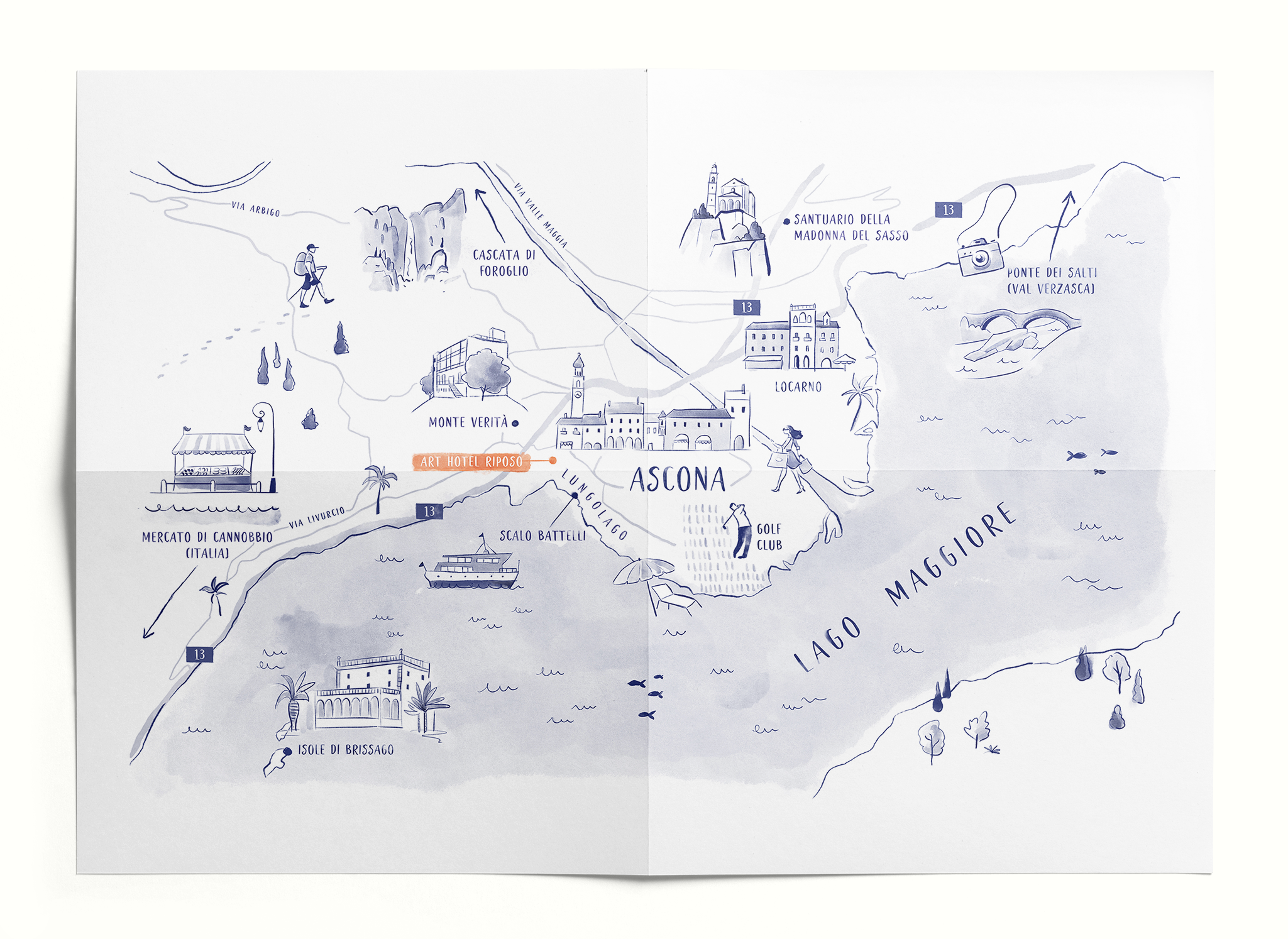
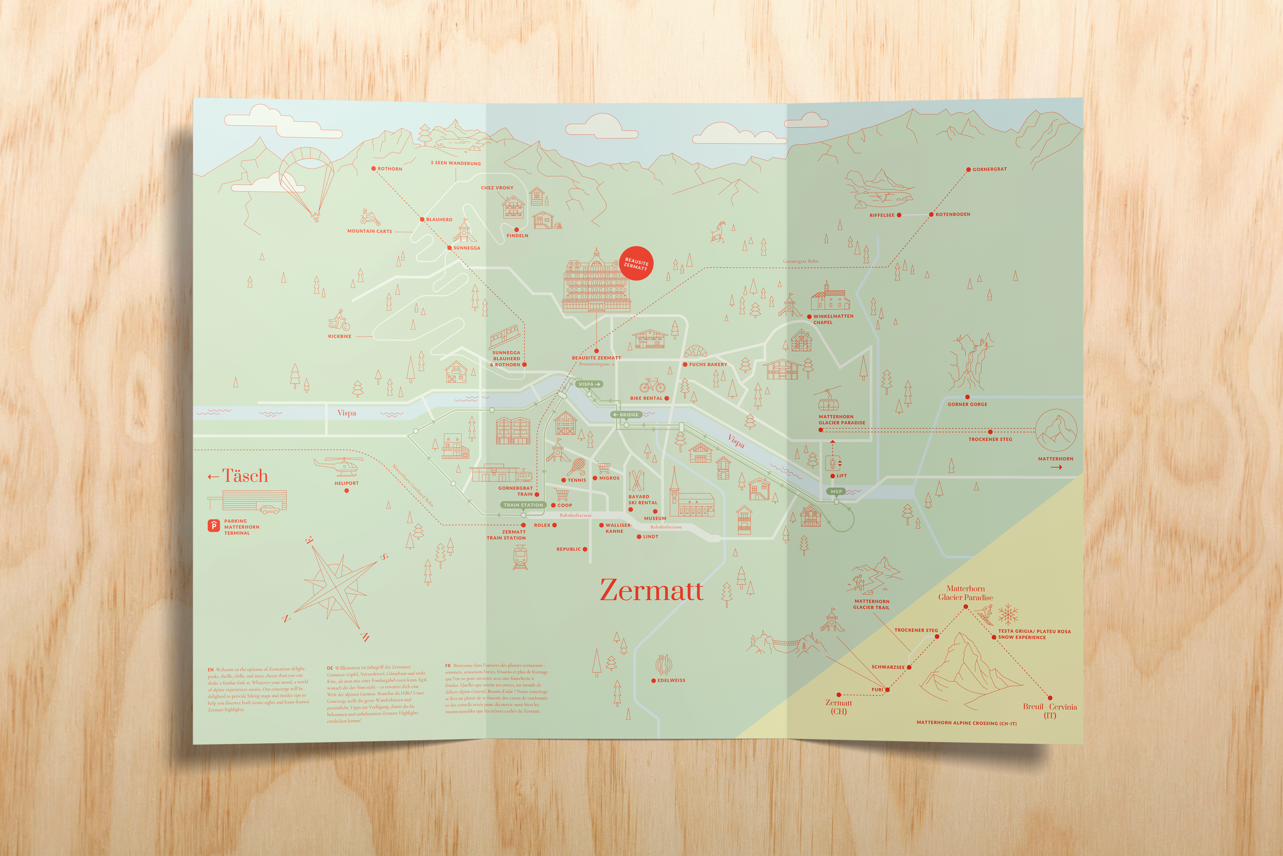
Beyond mere coordinates, an illustrated map is a visual gateway into the heart of your project. It transforms a physical space into an immersive narrative, inviting your audience to explore a location, territory or event through a lens of wonder and clarity.








What a map can do for your brand

Strategic alignment
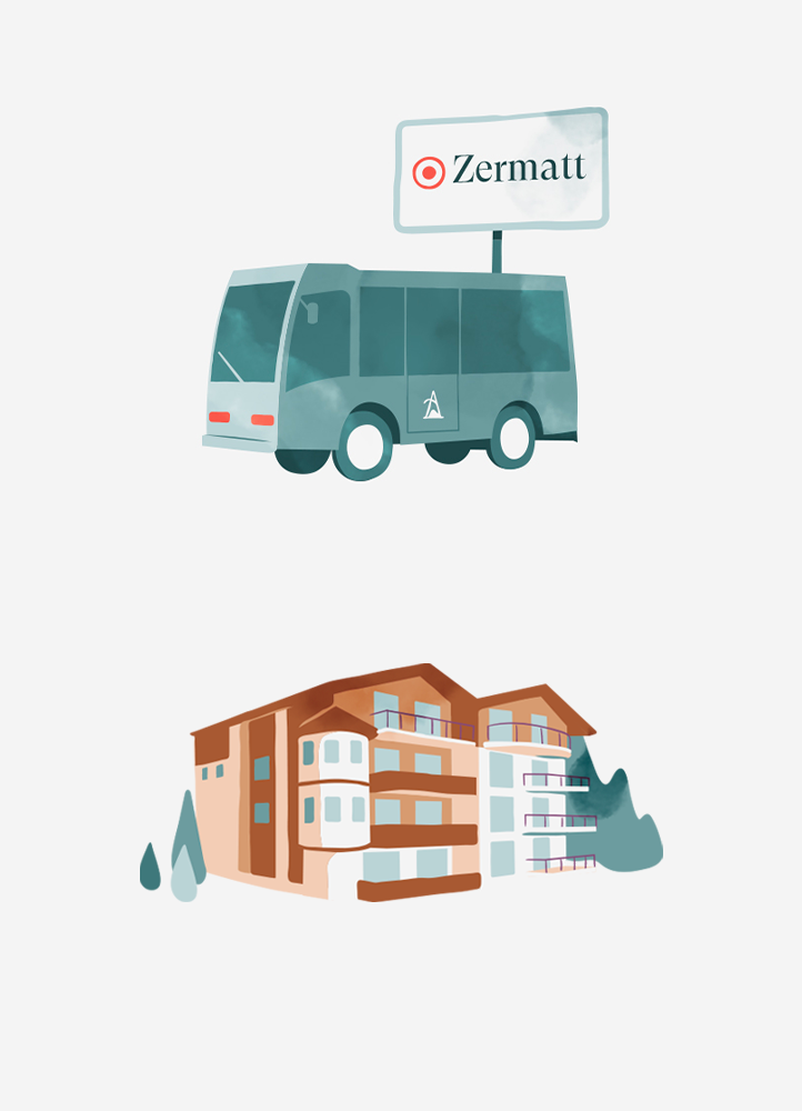
An illustrated map bridges the gap between your services and the surrounding territory, strategically highlighting their combined value and strengths.
A trusted guide
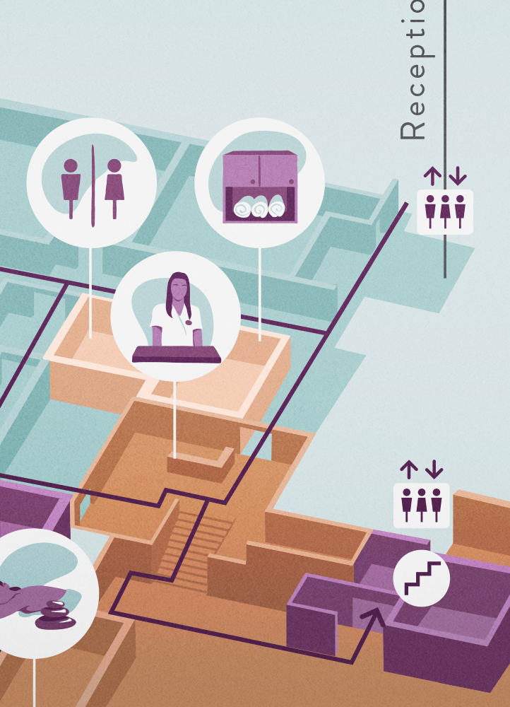
For a user, finding the most interesting attractions in a destination can be frustrating and time-consuming. An illustrated map simplifies complex information, making their experience both fun and intuitive.

Seamless connection
Every detail is thoughtfully crafted to resonate with your brand identity, ensuring that the final journey is not just informative, but a cohesive extension of your vision.







What’s the process?
STEP 1
Discovery
The process begins with a briefing to align on your primary goals. I will then request details regarding the points of interest to be featured and the technical requirements for either print or digital use.
STEP 2
Evaluation
In this phase I assess the map’s feasibility, highlighting potential challenges such as space limits, layout orientation, or hotspot density. We will work together to find the perfect solution.
STEP 3
Drafting
Whether you already have a visual style or we’re starting from scratch, I’ll develop two style directions by illustrating a small portion of the map for your selection.
STEP 4
Delivery
In the final stage, I provide the completed map, allowing for a round of revisions to polish the artwork. Once every detail is approved, I will deliver the final high-resolution files.